Search results for “Regional Europe Denmark Counties Copenhagen, City of Maps and Views”

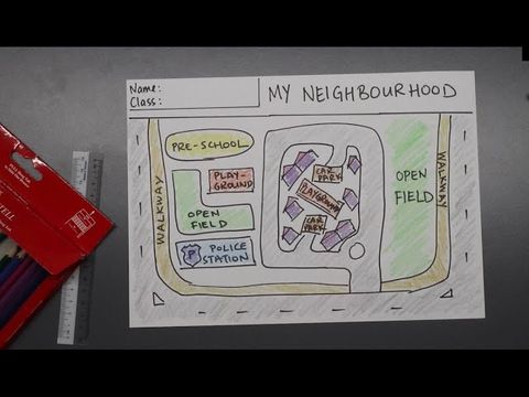
Smart Cities: Is it still your city?

The lights pass you by. A long long way, you’re coming… home? You haven’t been back for a long time. In this city, you used to go call your own. Will you still recognize the place? Sharp people with ideas have gotten it together here. Back then we would have said: “This is pretty smart”. And yes, yo

Mercator's world map

In 1569, Gerhard Mercator presented his world map to the public for the first time. The 1 meter 34 by 2 meter 12 meter card was given the title addition: "for marine use". It was later divided into 20 single sheets and published in a book. Long awaited by the captains of the world. Author: ZDF/Terr

City traffic

There is lots of traffic in our cities. The private car remains a popular means of transport. Our explanatory video shows the problems that urban traffic leads to and possible solutions. Translation and dubbing: alugha

How Can Cities Benefit From Digitization?

What's Digitization and how do cities benefit from it? Through smart networking of value-adding systems, cities can act more sustainably. This prepares them for the future while benefiting their residents and businesses. This video was produced in collaboration with Fraunhofer Institute for Industri

Europe Through the Generations

Featuring: · Maria Romana De Gasperi: daughter of Alcide De Gasperi, former Prime Minister of Italy · Antoinette Spaak: daughter of Paul-Henri Spaak, former Prime Minister of Belgium · Jean-Marie Pelt: former private secretary of Robert Schuman, France's foreign minister w

Smart Cities

Our video explains what Smart Cities are and how they transform urban living. #SmartCities use cutting-edge tech to create cleaner, more connected, and sustainable communities. Dive into the future of urban life and see how Innovation makes cities smarter every day! #FutureCities #UrbanInnovation #S