Search results for “Regional Asia Kyrgyzstan Maps and Views”

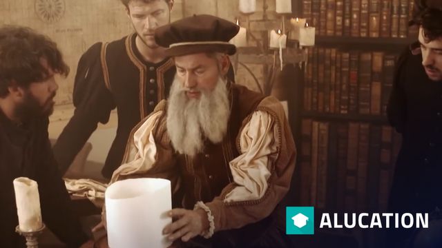
Mercator's world map

In 1569, Gerhard Mercator presented his world map to the public for the first time. The 1 meter 34 by 2 meter 12 meter card was given the title addition: "for marine use". It was later divided into 20 single sheets and published in a book. Long awaited by the captains of the world. Author: ZDF/Terr

Systems Mapping

Click here to see more videos: https://alugha.com/SystemsInnovation Take the full course: https://systemsinnovation.io/course/ Follow along with the eBook: https://systemsinnovation.io/books/ Systems mapping is a type of modeling that is designed to reveal the underlying interrelationships and stru

Value Mapping

Click here to see more videos: https://alugha.com/SystemsInnovation Take the full course: https://systemsinnovation.io/course/ Follow along with the eBook: https://systemsinnovation.io/books/ Mental models and the values that shape them are at the foundations of how we see the world and act upon it

Incentive Mapping

Click here to see more videos: https://alugha.com/SystemsInnovation Take the full course: https://systemsinnovation.io/course/ Follow along with the eBook: https://systemsinnovation.io/books/ Incentive mapping is important because it lets us see the somewhat invisible fields of incentives that are

Changing Views of Pluto | NASA Planetary Sciences

Learn about seasonal changes on Pluto in this video adapted from NASA. Pluto is one of the largest members of the Kuiper belt, a region of small icy bodies in the outer solar system. Pluto is so tiny and distant that even images from the Hubble Space Telescope do not show much detail. Extensive comp

ScienceCasts: Views of Home

Cameras on NASA spacecraft have treated us to intriguing and inspiring perspectives of our home planet as they've looked back at Earth from various locales. Visit http://science.nasa.gov/ for more. Click here to see more videos: https://alugha.com/NASA